

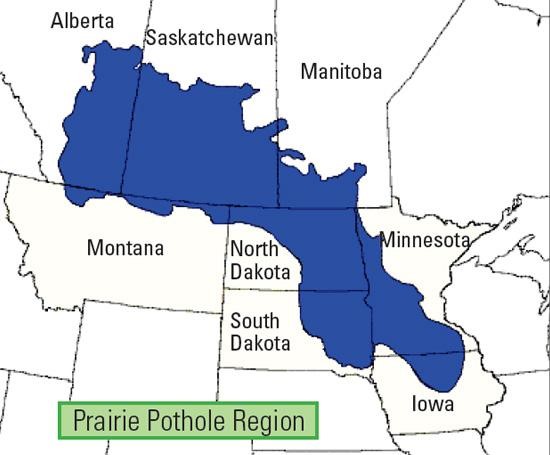
Commercial access to satellite imagery is possible thanks to solutions like SkyWatch's platform EarthCache, but government agencies use SkyWatch too. For example, in the Prairie Pothole Region (PPR) of the United States and Canada, shallow depressions caused by Pleistocene glaciation interact with mid-continental climate variations to maintain various wetland types.
As a result of their unique environmental and biotic characteristics, these wetlands contribute to the region's diversity, including the production of aquatic invertebrates and the vertebrates that eat them. Scientists are so interested in monitoring the PPR because climatic extremes have a profound and dynamic influence on wetland hydrology, hydroperiod, chemistry, and, ultimately, the biota.
For monitoring purposes, government agencies use a combination of satellite and field data to try and get a complete, accurate picture of how the region is evolving over time.
In order to get an accurate picture of how the region changes over time, government agencies use a combination of satellite and field data.
For example, the United States Geological Survey uses short-wave infrared data to create hydrology flow maps. By combining these data with statistical data collected from the field, the USGS creates DEM layers that can be connected to create 3D models and landscape over-time animations.
Before SkyWatch, North American scientists monitoring the region often used Earth Explorer. Still, they sometimes needed help finding the data they needed to develop their models, which negatively affected their research.
This team found SkyWatch highly attractive because of its access to multiple data sources and ease of use. In addition, setting up data pipelines to receive new Earth observation data through this single platform was a major time saver, reducing the time searching for such data by 10X. This is a tremendous advantage for their future studies.
The Skywatch EarthCache allows scientists to access multiple data sources through a single query location, thus enhancing workflows and GIS analysis. For example, in the past, they might have had to download extra data or scenes to fulfill a request, but with the API, they can parse out those unnecessary data points and clip our scenes to their study sites. In the future, research centers can monitor and record changes easily with these capabilities.
As part of their initial study, the scientists observed changes over time in 180 specific wetland regions. Specifically, they requested imagery every other week between 2013 and 2016 for 180 of their 180 areas of interest. As a result, data collection tasks which would have previously taken the research center's technicians days were completed in an hour.